Mt. Isa
Authors: Dom Fournier, Dr. Kris Davis
Editor: Douglas Oldenburg
Special Thanks
Thanks to CSIRO publishing for permission to reproduce figures and adapt text from the source material. This Case History is based upon the paper: 2-D and 3-D IP/resistivity for the interpretation of Isa-style targets by Rutley, Oldenburg and Shekhtman [ROS01].
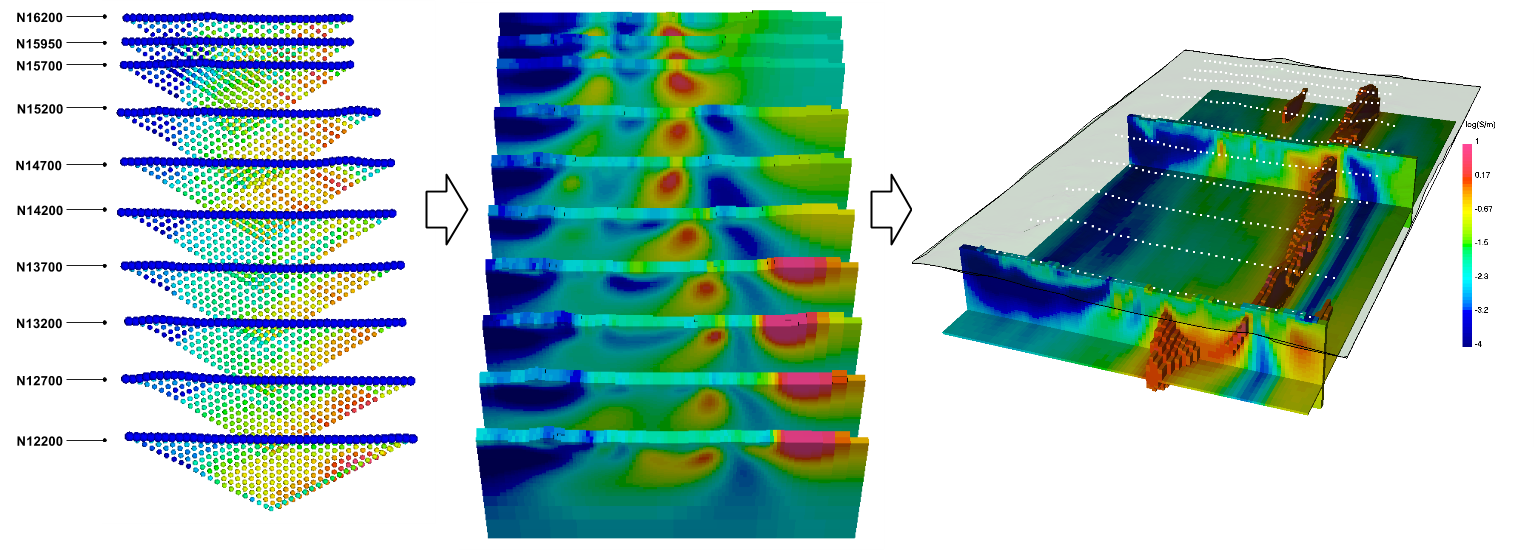
Abstract
Here, we show one of the first examples of inverting DC/IP field data to recover 3D distributions of resistivity and chargeability. Prior to this, the inversion of field data was primarily carried out in 2D. We use this case history to provide an example for inverting DCR and IP data and to link different parts of the survey and processing to the fundamentals of EM as presented in EM.geosci. We have re-inverted the data but have kept as many details as possible to be the same as in the original paper. This enables us to show how current technology has increased the ability to recover details about the subsurface.
