EM GeoSci
Purpose
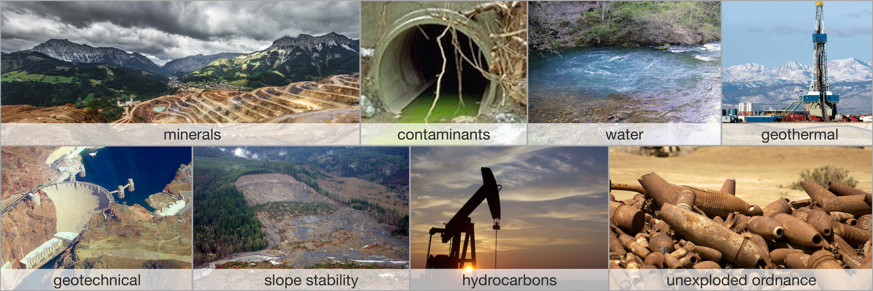
To facilitate the understanding and use of electromagnetics in solving exploration, geotechnical and environmental problems.

Why EM GeoSci
Electromagnetics has not yet reached its full potential for solving problems in the geosciences. However that is changing and today the combination of better field systems and high quality data, advances in scientific computing, and the exponential increase in computer power allows us to solve problems that were not possible a few years ago. It is also becoming more common-place to acquire laboratory or in-situ measurements of physical properties and these are essential links in tying geophysics to questions about the earth. The other advance is the open-source technology that allows technical material and ideas to be generated by multiple contributors through sources like Github . Cloud-based computing environments and open source software have also opened up portals for interacting with equations and concepts in real time as material is being read. The goal of EM GeoSci is to blend these items as seamlessly as possible and provide a learning environment in which geoscientists with various backgrounds and expertise can connect with the application of electromagnetics in their field of study. Having a resource that allows participants to answer many different questions connected with electromagnetics will enhance efficiency of research and applications. Moreover, this resource provides an explicit repository for knowledge that has been acquired by practising geoscientists and, when made available, can elevate the learning and responsible use of electromagnetics throughout the communinity.
What is EM GeoSci?
EM GeoSci is an open-source resource that emphasizes the physical principles of electromagnetic methods and their application in solving geoscience problems. Rigorous analytic solutions of the EM problems with specific transmitting fields and earth models are left to existing books and research papers, and so too are the computational details required to numerically solve Maxwell’s equations. Our emphasis is on using analytic and numerical solutions to understand electromagnetic fields and fluxes obtained from various types of transmitters in different geological environments and to show how different EM surveys, using controlled or natural sources, can be applied in practise. Case Histories play an essential role. They allow readers to make the connection between the geoscience problem, the EM survey, and the eventual outcome. Understanding the fundamental physics is facilitated through the use of Jupyter Notebooks which allow users to visualize fields and explore understanding by changing parameters. The simulations use the open- source package SimPEG (Simulation and Parameter Estimation in Geophysics).
EM GeoSci and the SEG
EM GeoSci served as the main “textbook” resource for the SEG 2017 Distinguished Instructor Short Course on “Geophysical Electromagnetics: Fundamentals and Applications”. We are grateful that the SEG supported us in our open-source experiment and allowed us to substitute EM GeoSci for the traditional hardcopy book that accompanies the DISC. The Case Histories, which form an important component of EM GeoSci, are presented within a synoptic Seven-Step framework that is linked to original, published and copyrighted papers. We are grateful that the SEG has allowed us to adapt figures and content from their publications.
EM GeoSci is under construction
EM GeoSci is under active construction. We are working to fill in blank pages and address todo’s. Our goal is to have a mature version available by the end of 2019. In the meantime, we are making this resource available and inviting contributions for case histories. We welcome feedback about the useability of the site and the technical details.
How is it organized?
The motivation for the structure of em.geosci follows from Basic Electromagnetic Experiments. The goal is to identify topics that are logically self-contained and then use links to connect them. At the large scale we have the following items.
-
Provides motivational examples, outlines the site, takes care of housekeeping items like notation
-
Is the “go-to” location for information about what the properties are, how they are measured, typical values etc.
-
This contains a summary and background about the formative laws that are the basis for Maxwell’s equations as well as an introduction to general topics that and not survey specific. (eg the basic equations in the frequency and time domain, interface conditions, concepts of fields and fluxes, plane waves in homogeous media, fields from electric and magnetic dipoles etc. )
-
This section pertains to the understanding the steady-state Maxwell’s and its applications. Foundations for DC resistivity (DCR); Magnetometric resistivity (MMR), and magnetic surveys are found here.
-
This section pertains to understanding Maxwell’s equations in the frequency domain. Foundations for galvanic, inductive and natural source surveys in frequency are presented.
-
This section pertains to understanding Maxwell’s equations in the time domain.
-
Self-contained folders for individual geophysical surveys are provided. For example DCR provides a comprehensive overview about the DC resistivity survey as well as links to case histories. Each Survey is linked to relevant sections in other portions of em.geosci so that comprehensive knowledge can be accessed.
-
This provides basic tutorial information about inversion that is applicable to all em surveys.
-
These form the cornerstones of our site. They motivate the use of EM geophysics and they also dictate what material needs to be developed in the background sections. Each case history is presented with a Seven-Step Framework.