Ground Penetrating Radar
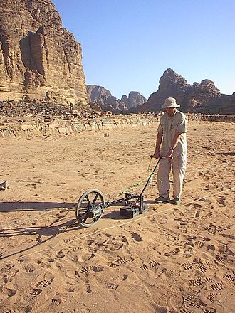
Fig. 213 Archaeological GPR survey in Jordan. Image source .
Ground penetrating radar (GPR) is an electromagnetic method used for very near surface applications; metres through 10s of metres. It is sometimes referred to as echo-sounding. GPR exploits contrasts in electromagnetic properties (dielectric permittivity, electrical conductivity and magnetic permeability) in order to define the physical boundaries of shallow structures (both natural and man-made). GPR is ideal for near-surface applications because it provides higher resolution images than methods such as FDEM, TDEM and magnetotellurics. GPR surveys are generally performed on a small scale. Depending on the application, various transmitter-receiver configurations can be used. GPR systems can also be mounted to helicopters or placed in boreholes.
GPR has been used successfully to:
Investigate concrete structures and roads
Map the layered structures of peat-bogs, sedimentary sequences and glacial environments
Obtain the depth to groundwater or permafrost
Locate buried infrastructure such as irrigation pipes, tunnels and electrical wires
Find unexploded ordnance
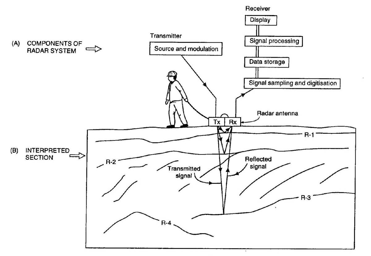
Fig. 214 Basic diagram for a GPR survey.
The basic conceptual understanding of GPR is shown in Fig. 214. During GPR surveys, a source antenna (Tx) is used to send a pulse of radiowaves (10 MHz to 2.6 GHz) into the ground. As the radiowaves propagate through the Earth, they are distorted as a result of the Earth’s electromagnetic properties. At boundaries where the subsurface electromagnetic properties change abruptly, radiowave signals undergo transmission, reflection and/or refraction. Sensors (Rx) measure the amplitudes and travel times of radiowave signals that have been distorted by the Earth. This information is then used to image discrete targets and physical boundaries.
Contents
Related Case Histories